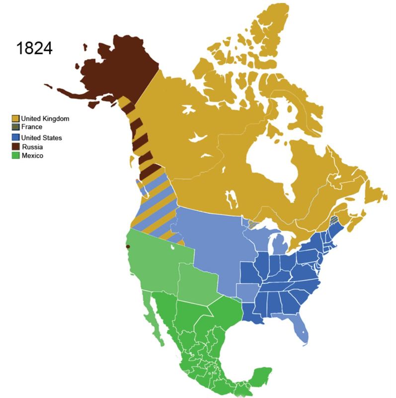
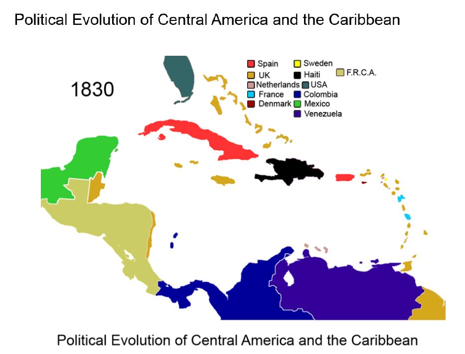
Maps During the Early 1800's
Each map has a color-coded key. Make sure you pay attention to the colors between the two maps.

|
|
The maps above show areas being taken over between 1818 and 1824.

Use the compass to help you identify location on the maps.
|
|
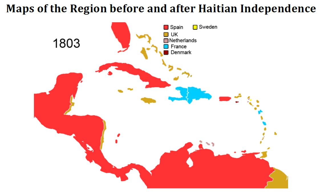
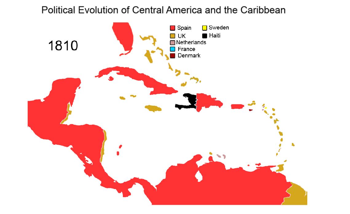
The two maps above show Haiti being controlled by France in 1803 and becoming an independent country in 1810.
|
|
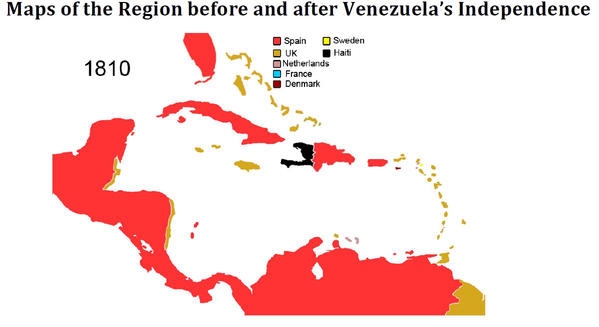
The two maps above show Venezuela being controlled in 1810 by Spain and the becoming an independent country in 1830.
